

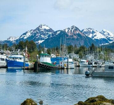
Boats in Alaska. Photo: Kim Parco, pexels.com
Right now, my work is focused on assessing geological hazards across vast expanses of the seafloor, encompassing volcanic activity and deposits, earthquakes, landslides, tsunamis, and just about everything else you could imagine. The learning curve has been steep, which is just the way I like it.

Janine Krippner
Part of this work is understanding the data that I am using so that I am aware of the limitations. Some of the most important and fascinating data, multibeam bathymetric data, is the marine equivalent of looking at Google maps under the ocean, but with far less detail. This data is collected by technicians and scientists who spend long stretches of time on research vessels or ships.
A dear friend and colleague of mine, scientist Christie Reiser, has spent more than 1000 days at sea over the past decade. She kindly agreed to share what it’s really like to live and work aboard a ship.
Christie’s work was based in Alaskan waters, where the field season lasts six to eight months during the better weather period. That means spending every hour of every day with the same people, working 12-hour shifts and often under pressure, sometimes in life-or-death situations. Tragically, death is occasionally part of the reality at sea. Ships are dangerous places, and health and safety are paramount. Each person must not only look after themselves but also remain constantly aware of the wellbeing of everyone around them.
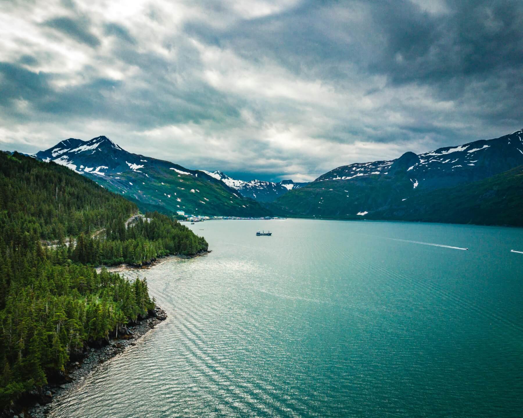
Picturesque View of Fjord and Mountains in Background. Photo: Andrew Hanson, pexels.com
As of today, only about 27 per cent of the world’s seafloor has been properly mapped using modern instruments, according to the Seabed 2030 global mapping initiative. And even then, the resolution is not what we’re used to on land. The main task of Christie’s cruises was to chart previously unmapped areas of the seabed, as well as re-map dynamic nearshore zones where human activity or natural forces, such as tsunamis, can modify or reshape the seafloor.
As a survey technician, part of her job was to work on the smaller boats that depart from the main ship, where she collected data and cared for sensitive equipment. The end result was the creation of nautical charts, which are crucial for marine navigation. These charts are vital not only for safe navigation, but also for understanding hazards at sea. What struck her most was just how much expertise, technology, and collaboration go into producing an accurate map of the ocean floor.
Even something as seemingly simple as knowing your position on the water is remarkably complex. A ship doesn’t just travel forward, it constantly pitches, rolls, and shifts. For mapping to be accurate, scientists must know the vessel’s position in three dimensions, down to the millimetre scale. They also need to account for tides, sea level, and the boat’s precise location on the globe.
With the enormous amount of physical things around you at this moment having at one point spent time on a boat, so much of our lives are dependent on the ocean. Accurate tsunami models also depend on this information, among many other things we take for granted. Mapping the ocean floor is more than just an academic pursuit, it’s a vital part of life on this beautiful, watery planet.
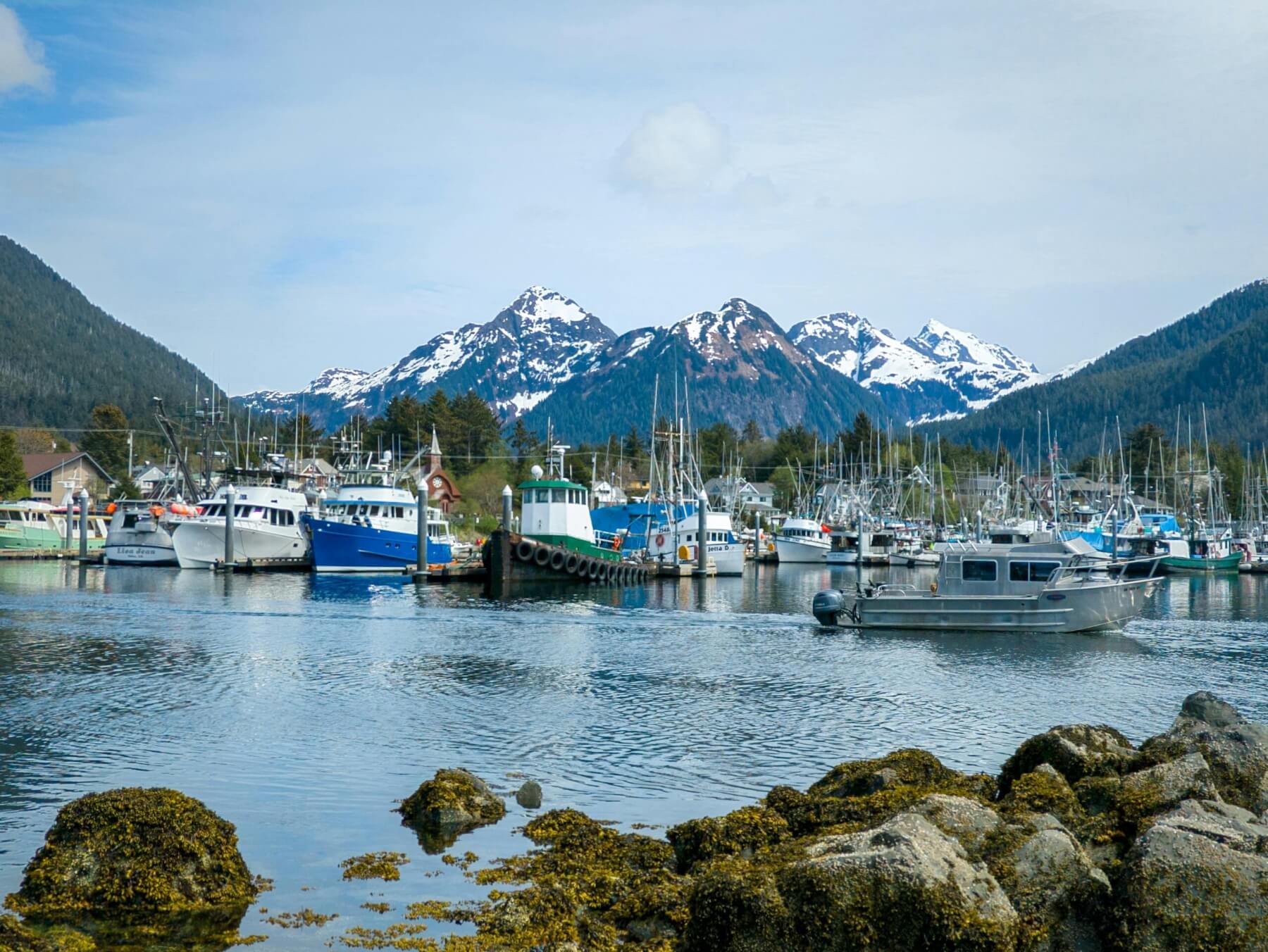
Boats in Bay in Alaska, USA. Photo: Kim Parco, pexels.com