
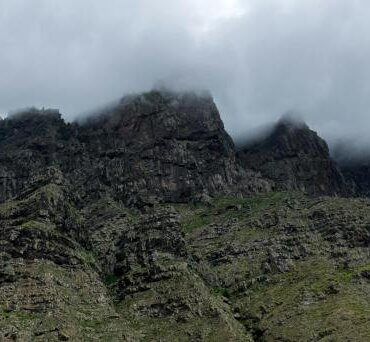
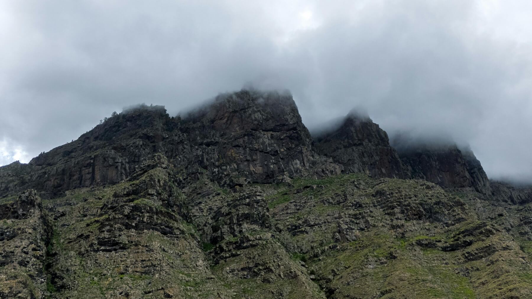
Dramatic Mountain Peaks in Canary Islands
I am undertaking the brutal adjustment of coming from the oppressive, dusty heatwaves in Spain to mid-winter New Zealand – going from long, sunny days on the islands to frosty mornings.
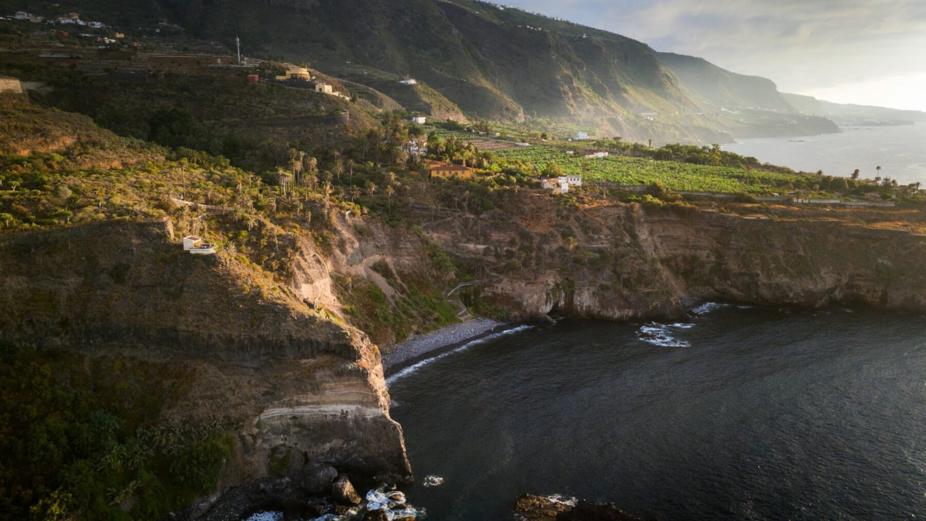
Aerial View of Rugged Coastline in Canary Islands. Photo: Alex P, pexels.com
Several weeks ago now, once the students had returned home and our projects were wrapped up, my focus shifted from volcanic resilience on Tenerife to the westernmost island of the Canaries, El Hierro. I travelled there by ferry with colleague Sergio Alfaya to investigate rockfalls following our month of work with GeoTenerife. I had written about his research a few weeks earlier, and now it was time to see the geology for ourselves.

Janine Krippner
El Hierro took my breath away. Much of its northwest coast is dominated by an immense cliff that rises around a kilometre above sea level in an astonishingly short distance, exposing countless stacked lava flows. Above, the surface is dotted with scoria cones and younger lava flows, with more than 500 craters mapped across the island. The landscape is so spectacular that the entire island has been designated a Unesco Global Geopark.
It is also volcanically active. In 2011, a seismic crisis shook the island, culminating in a submarine eruption. The uncertainty over where the vent might open caused major disruption for residents, providing lessons that later proved invaluable during the 2021 Tajogaite eruption on neighbouring La Palma.
Steep volcanic slopes and sheer cliffs make El Hierro especially prone to rockfalls. These range from minor tumbles to significant road-blocking events. Local authorities are so familiar with the hazard that debris is cleared with remarkable speed. Driving around, we saw patches of concrete where heavy rocks had punched holes in the road surface.
At one point we entered a stretch of road that was marked by a large yellow sign stating “Danger, landslides. Go on at your own risk”. Above the road were tall fences set to catch falling rocks, and at the most dangerous spot, a tunnel has been built for rocks to cross.
Evidence of gravity’s relentless pull was everywhere: broken blocks of ancient lava littered the slopes, and one fence, several metres high, bore a deep dent from a boulder that had bounced its way downhill before smashing into the barrier. We didn’t linger in that section.
The scale of rockfalls and landslides is immense, from handfuls of fist-sized rocks scattered across a neighbourhood road to giant scarps carved by catastrophic events that sent debris far out to sea. In fact, around half the seafloor surrounding the island, extending out to 60 km offshore, is covered in landslide deposits. Over the past 200,000 years, four giant landslides have stripped away roughly 10 per cent of El Hierro’s land mass. Thankfully, these massive collapses are rare compared with the smaller, but still dangerous, events that occur regularly.
We all live with our own geologic hazards but seeing them so starkly on an island of just 11,000 people was a powerful reminder of how closely some communities live with the forces shaping our planet.
Dramatic Mountain Peaks in Canary Islands. Photo: Alex P, pexels.com