
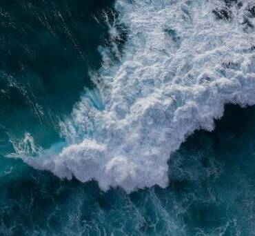
Tsunami. pexels.com
It can be a challenge to grasp the scale of geologic processes on land, and I’m finding this even more true in the marine environment. Part of the difficulty lies in the lack of information — we’re often working with sparse datasets until the entire seafloor is mapped. When we do examine the deep seafloor, it’s usually from afar (from the ocean surface), and there aren’t the usual human-scale reference points we rely on to quickly sense size, like a car, building, or city.
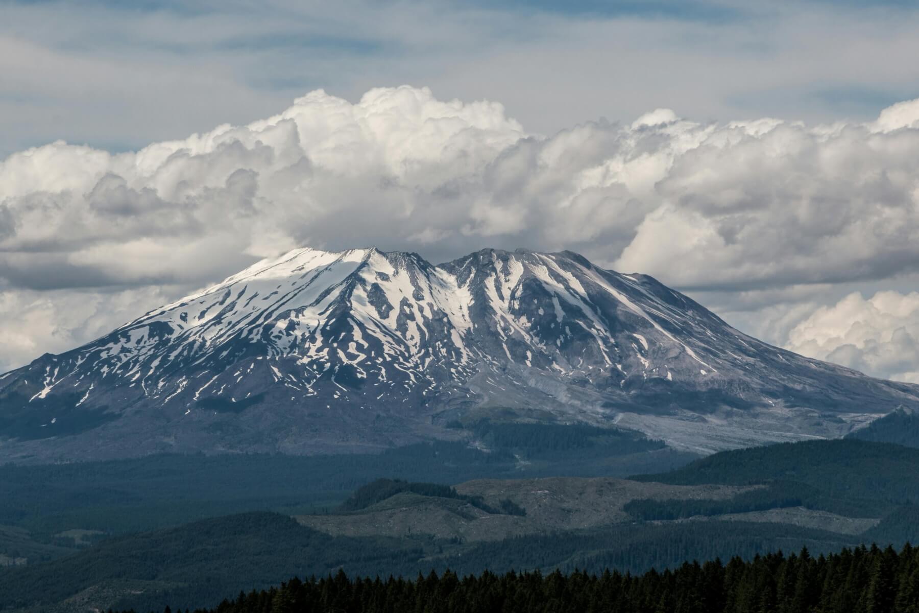
St Helen’s Volcano. Photo Loren Castillo, pexels.com
I’m fascinated by landslides on land and below the sea, especially the large ones. On volcanoes, we call these debris avalanche deposits. The most famous one was produced by Mount St Helens during its catastrophic 1980 eruption — an event that happened this week, 44 years ago.

Janine Krippner
As landslides move, the material involved (soil, rock, and whatever else is dragged along) behaves like a fluid. This allows it to travel enormous distances. The Mount St Helens deposit extends 24 km from its source. That’s small compared to many seafloor deposits.
Understanding submarine landslides is not only key to understanding the forces that shape our planet, but also crucial because they can damage seafloor infrastructure — including communication cables that carry our internet. And they can trigger tsunamis.
When there’s more water mixed with the sediment, we call these flows turbidity currents, which are known for the impressive distances they can cover. The first time we recognised one was in 1929, when the trans-Atlantic telegraph cable was severed. The cause was a landslide triggered by the Grand Banks earthquake, which also generated a tsunami that killed 28 people in Canada.
The largest known submarine landslides are the offshore Norway, which transported sediment over 800km from the continental shelf — roughly the length of the North Island. The affected area was about 95,000 square kilometres, not far off the area of the North Island.
The continental shelf is the relatively shallow zone surrounding a landmass, compared to the deep ocean. To produce these massive slides, around 300km of the Norwegian continental shelf collapsed — roughly the distance from Cape Reinga to Auckland.
The Storegga deposits show that several major collapse events occurred. Around 8150 years ago, one of these slides triggered a tsunami that inundated coastlines across northern Europe. It remains the largest known tsunami in the North Sea and northeastern Atlantic during the last 12,000 years. Waves exceeded 20 metres.
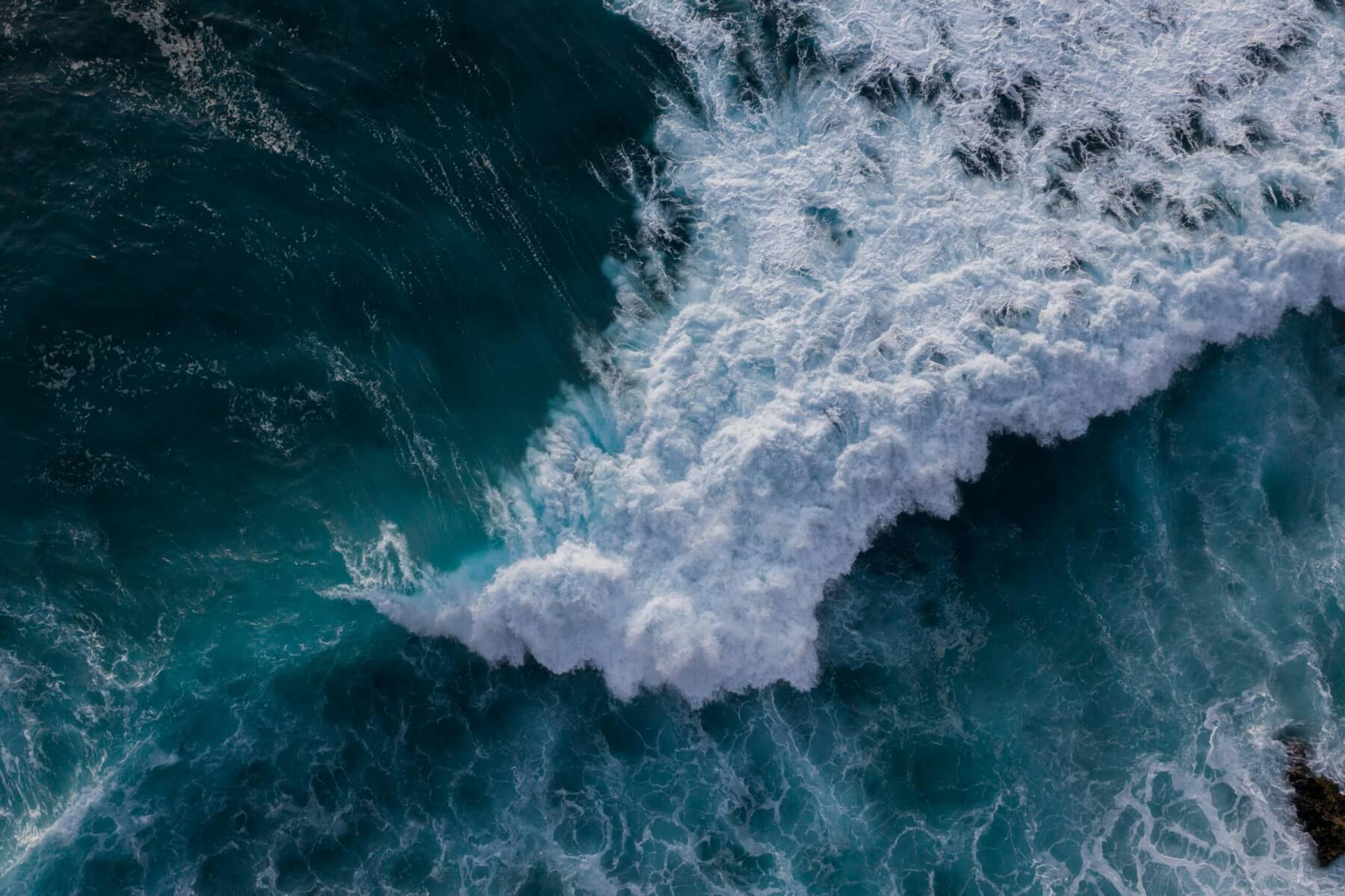
Tsunami. Photo: Mikhail Nilov, pexels.com
As with many geologic processes I write about, there are typically far more small events than large ones. But it’s important to understand both the likely and the worst-case scenarios. Smaller submarine landslides are quite common — we just don’t always know they’ve happened.
These hidden movements beneath the waves may seem distant, but they shape our coastlines, affect global communications, and remind us that Earth is never truly still. Submarine landslides are not just dramatic geological events, they’re part of the shaping of our planet, quietly sculpting the seafloor far below the surface.